
Snow closes schools, creates hazards

Snow accumulated overnight into Tuesday in Jackson County near Ripley. (Photo by Michelle Dillon)

Ryan Gillian shoveled his driveway along Rockland Avenue in Belpre Tuesday after snow hit the area which closed schools. (Photo by Brett Dunlap)
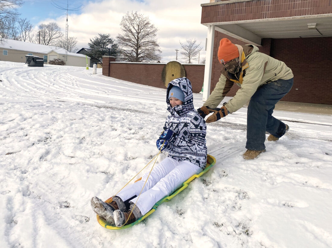
Harper and Ryan Deem of Belpre go sledding down the hill behind the Masonic building in Belpre on Putnam Howe Drive. (Photo by Brett Dunlap)
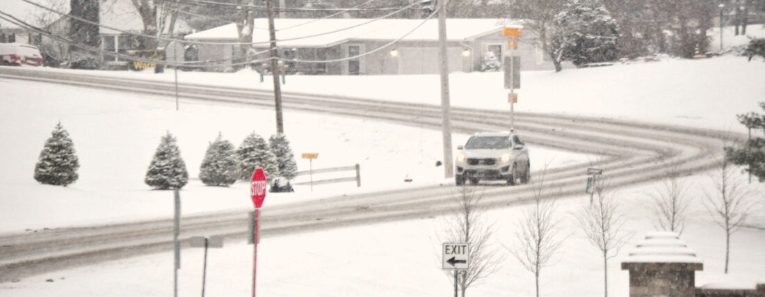
A car makes its way around a slick curve on Lancaster Street near the Washington County Career Center early Tuesday morning. (Photo by Art Smith)
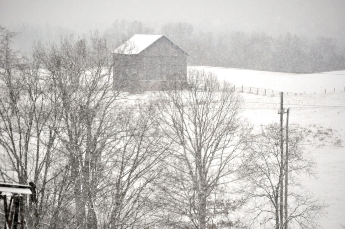
A barn sits in the middle of a snow covered field near Churchtown in Washington County. (Photo by Art Smith)
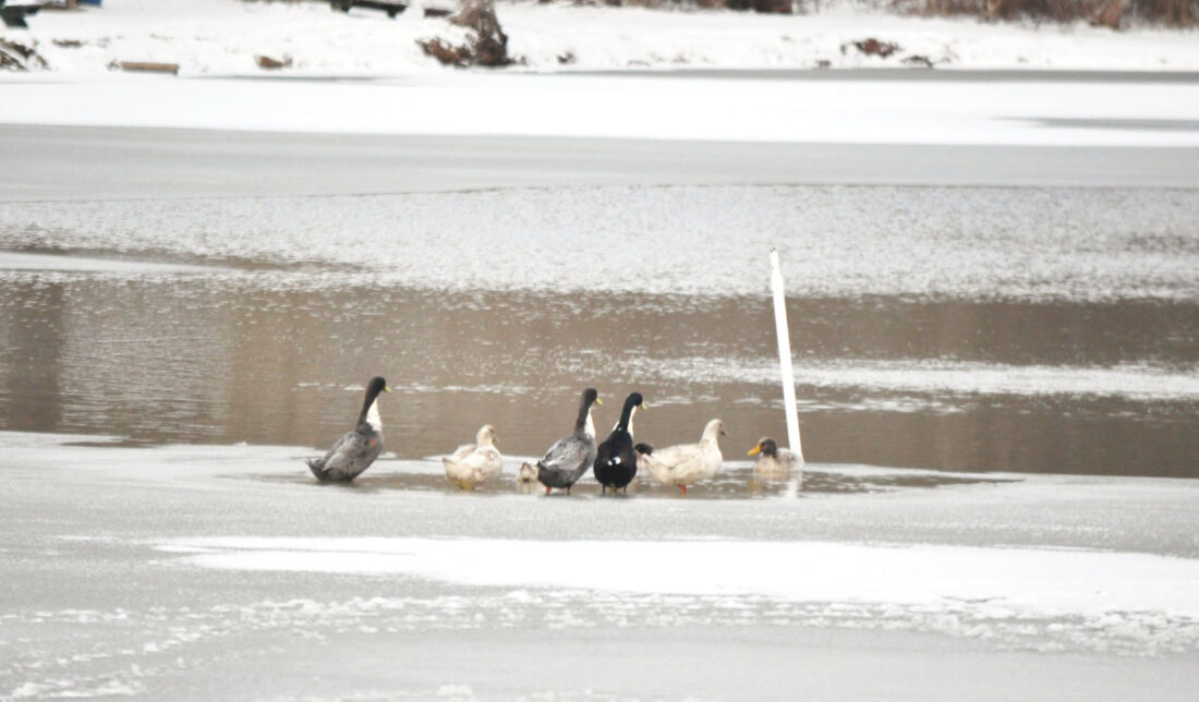
Waterfowl sit on the ice at Catfish Paradise near the intersection of Ohio 7 and Veto Road. (Photo by Art Smith)
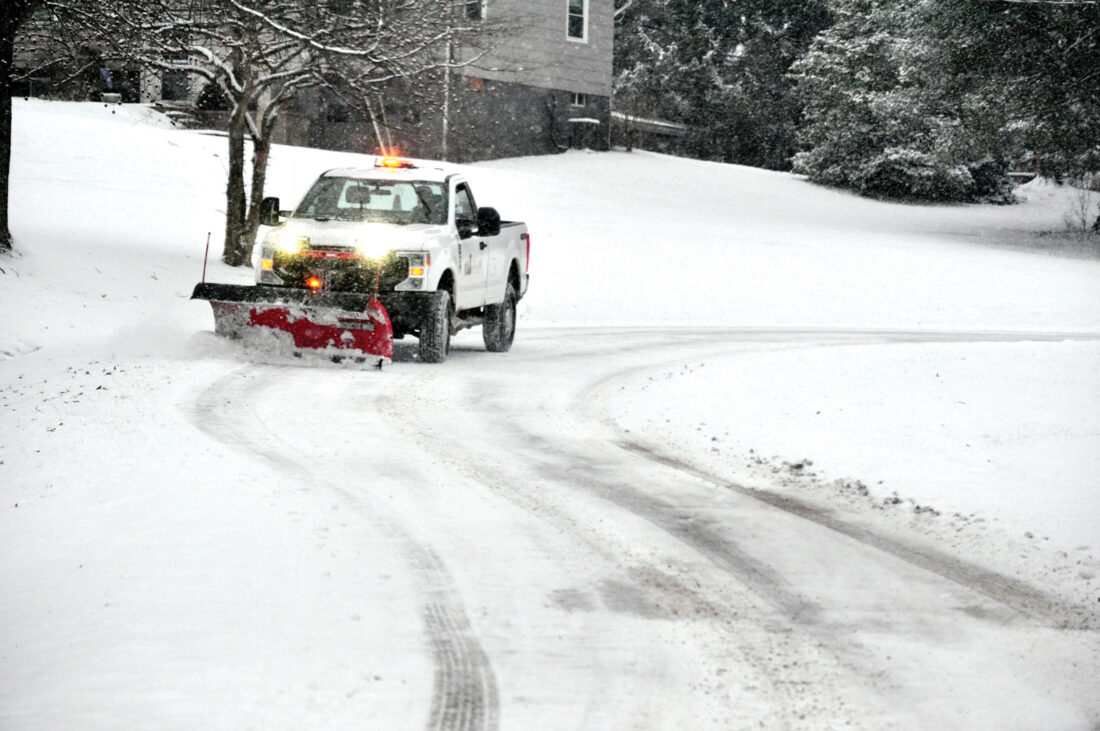
A city of Marietta truck plows the driveway leading up to Gold Star Park on Harmar Hill. (Photo by Art Smith)
Snow accumulated overnight into Tuesday in Jackson County near Ripley. (Photo by Michelle Dillon)
Ryan Gillian shoveled his driveway along Rockland Avenue in Belpre Tuesday after snow hit the area which closed schools. (Photo by Brett Dunlap)
Harper and Ryan Deem of Belpre go sledding down the hill behind the Masonic building in Belpre on Putnam Howe Drive. (Photo by Brett Dunlap)
A car makes its way around a slick curve on Lancaster Street near the Washington County Career Center early Tuesday morning. (Photo by Art Smith)
A barn sits in the middle of a snow covered field near Churchtown in Washington County. (Photo by Art Smith)
Waterfowl sit on the ice at Catfish Paradise near the intersection of Ohio 7 and Veto Road. (Photo by Art Smith)
A city of Marietta truck plows the driveway leading up to Gold Star Park on Harmar Hill. (Photo by Art Smith)
Trending
PARKERSBURG -- Residents battled snow and cold Tuesday as area schools were closed due to the weather.
According to district websites and Facebook pages, schools were closed in Wood, Jackson, Wirt, Pleasants, Roane, Ritchie, Doddridge, Gilmer, and Calhoun counties in West Virginia on Tuesday. Students in Ritchie County schools had a Non-Traditional Instructional Day, which required them to complete school work at home.
Schools were closed in Ohio too.
According to district websites and Facebook pages, schools were closed for Frontier Local Schools, Belpre City Schools, Fort Frye Local Schools, Marietta City Schools and Wolf Creek Local Schools in Ohio. Washington County Career Center was also closed according to their Facebook page. Warren Local Schools in Ohio confirmed over the phone they were closed Tuesday.
West Virginia University at Parkersburg, WVU-Parkersburg's Jackson County Center, Marietta College, and Washington State Community College confirmed by phone they were open Tuesday.
The weather caused snow emergencies to be issued for Tuesday. The Washington County Sheriff's Office upgraded to a level two snow emergency on Monday. According to the Sheriff's Office Facebook page, this means roadways are hazardous with blowing and drifting snow. The Sheriff's Office said only people who feel it's necessary to drive should be on the roads and that people should contact their employers to see if they should report to work.
The Wood County 911 Center reported little going on Tuesday.
A supervisor said they had a couple of cars sliding off the road in a couple of spots without serious damage, but otherwise everything was operating normally.
"It is pretty much business as usual," the supervisor said.
Wood County Sheriff Rick Woodyard said they had gotten reports of a couple of vehicles sliding into the median, but nothing more serious than that.
The Athen's County Sheriff's Office issued a level two advisory Tuesday morning on their Facebook page. They said roads were hazardous with blowing and drifting snow and they may also be icy. The Sheriff's Office cautioned that only people who feel it is necessary to drive should be on the roads and that people should contact their employers to see if they should report to work. They asked that motorists use extreme caution.
"As a rule, you should try to avoid traveling on roadways that have not been plowed, salted, or treated. The fewer drivers on the road, the safer it will be for emergency personnel and transportation employees responsible for clearing ice and snow," the Athens County Sheriff's Office said in the advisory.
The Meigs County Sheriff's Office placed the county under a level 2 snow emergency Monday evening on their Facebook page. The Sheriff's Office said roadways were hazardous with blowing and drifting snow and that they may be icy. They also said only people who feel it is necessary to drive should be out on the roads and people should contact their employers about whether they should report to work. The Sheriff's Office asked that motorists use extreme caution.
There were a few traffic accidents related to the weather Tuesday.
Marietta Police Captain Aaron Nedeff said there were a couple of traffic accidents due to the weather. He said one car lost control on the interstate and hit some signs and there was one traffic accident on 10th Street. There were no injuries in either accident, he said.
Ohio State Highway Patrol District 7 Headquarters Lieutenant Henry said there were three crashes on Tuesday, and none involved injuries.
The National Weather Service in Charleston issued a forecast for Tuesday that said there was only light additional snow accumulation expected. According to the forecast, frigid temperatures and wind chills are expected through today as an arctic chill with an area of high pressure spreads into the area briefly. The forecast said wind chill headlines have been issued for most of the region and very cold air will prevail through midweek under arctic high pressure.
The forecast said that there will be a brief respite Thursday before another arctic air mass brings more snowy, frigid weather to end the week.
The National Weather Service issued a windchill advisory for Wood, Mason, Pleasants, Ritchie, Tyoler and Wirt Counties in West Virginia for Wednesday from 1 a.m. to 11 a.m. The advisory said very cold wind chills are expected. The wind chill may be as low as 10 below zero. The wind chills could result in hypothermia if precautions aren't taken.