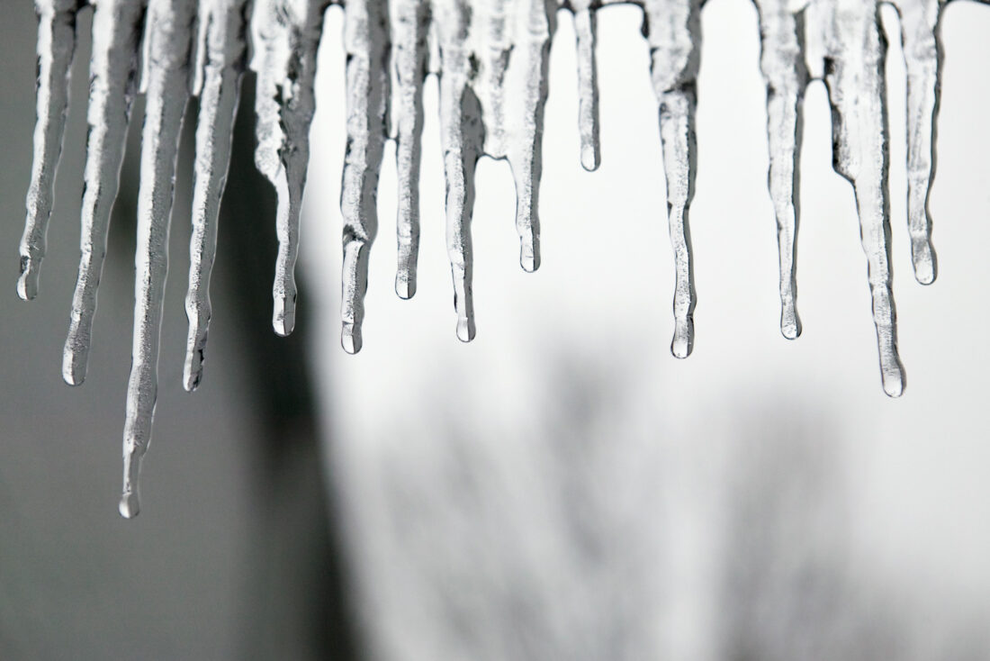
Cold weather settles in as Mid-Ohio Valley prepares for winter storm
(Photo Illustration - MetroCreativeConnection)
PARKERSBURG – Bitter cold and a complex winter storm system moved into the Mid-Ohio Valley this weekend, prompting closures, cancellations and heightened preparedness efforts from emergency officials, while some outdoor activities continued with added safety precautions. Officials at the Wood County 911 Center reported no weather-related incidents as of Saturday but said dispatchers and first responders were prepared should conditions deteriorate as the storm progresses. Across the region, some businesses closed early and multiple church services were canceled in anticipation of hazardous travel conditions. Despite the frigid temperatures and approaching storm, scouts continued participating in a Klondike Derby-style Gold Rush event at Camp Kootaga throughout the day. Organizers said weather conditions were closely monitored, with adjustments made to protect participants as temperatures dropped. Event organizer and Scoutmaster Alan Campbell said the schedule was shortened, heated indoor spaces were opened and scouts were encouraged to take frequent warm-up breaks. Leaders also emphasized the buddy system to help monitor for signs of cold exposure. “Safety is really, really important to us, and we spent a lot of time watching the weather and thinking about how we could keep our group safe,” Campbell said. The National Weather Service in Charleston warned residents to expect a mix of winter precipitation through the weekend, including snow, sleet, freezing rain and rain as warmer air pushes northward into the region. According to the agency, areas across southeast Ohio, northeast Kentucky and northern West Virginia are expected to remain cold enough to support moderate to heavy snow, while parts of central and southern West Virginia may experience periods of mixed precipitation or rain before colder air returns Sunday night and transitions conditions back to snow. Although precipitation coverage is expected to diminish Monday, upslope snow could persist along the West Virginia mountains into the night. Forecasters warned that moderate to major travel and infrastructure impacts are still expected across the region. The National Weather Service encouraged residents to report local weather conditions to help forecasters track rapidly changing precipitation types. Officials said public reports — sometimes referred to as “ground truth” — are especially helpful when snow changes to sleet or freezing rain. Residents can submit reports through the mPING mobile app, online at the National Weather Service website or on social media by tagging the agency and including location and time details. Officials emphasized that safety should always come first and warned residents not to put themselves at risk to take measurements. The West Virginia Emergency Management Division said residents seeking winter storm resources or information about warming shelters can contact WV 211 by dialing 211 or texting their ZIP code to 898-211. Emergency officials continued to urge residents to limit travel when possible, stay warm and monitor forecasts as conditions evolve.