
Forecast offers Mid-Ohio Valley a brief break in the snow before weekend
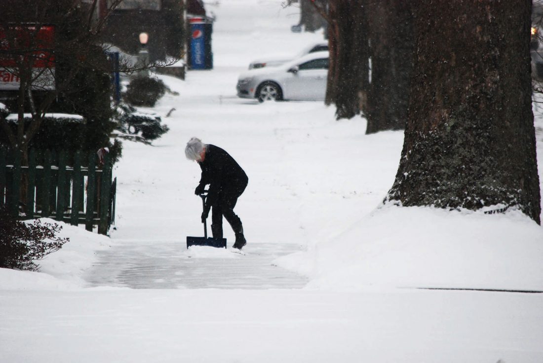
Kathy Mallett Monday morning shovels the snow from the sidewalk in the 400 block of Third Street in Marietta. (Photo by Art Smith)
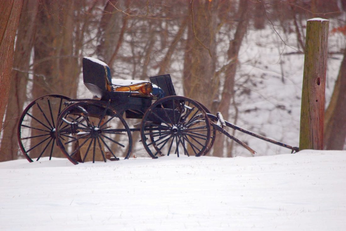
A buggy at Henderson Hall in Boaz stands ready during the ice and snowstorm on Monday. (Photo by Art Smith)
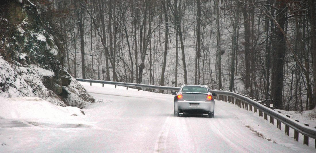
A car negotiates a snow-covered Waterford Road Monday morning near Marietta. (Photo by Art Smith)
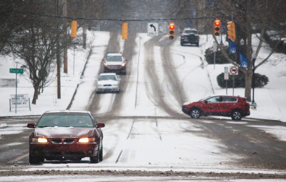
Drivers Monday morning took care during their morning commutes, including at Fourth and Putnam streets in Marietta where cars maneuver through the intersection. (Photo by Art Smith)
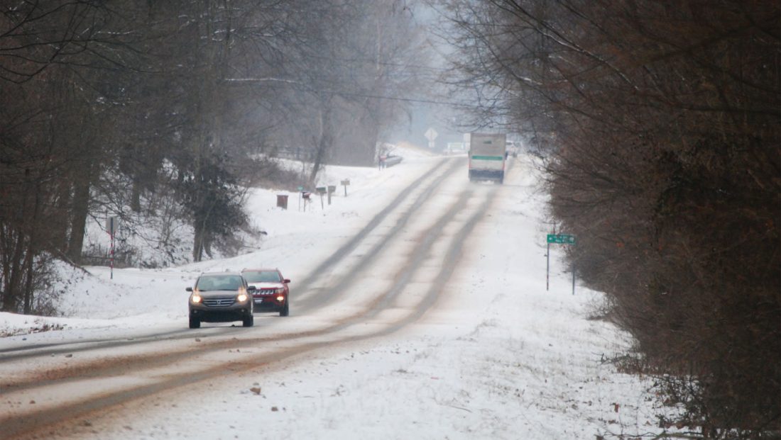
West Virginia Route 14 was snow-covered where traffic slowly moved Monday morning in Boaz. Schools in Wood County went to remote learning because of the snow. (Photo by Art Smith)
Kathy Mallett Monday morning shovels the snow from the sidewalk in the 400 block of Third Street in Marietta. (Photo by Art Smith)
A buggy at Henderson Hall in Boaz stands ready during the ice and snowstorm on Monday. (Photo by Art Smith)
A car negotiates a snow-covered Waterford Road Monday morning near Marietta. (Photo by Art Smith)
Drivers Monday morning took care during their morning commutes, including at Fourth and Putnam streets in Marietta where cars maneuver through the intersection. (Photo by Art Smith)
West Virginia Route 14 was snow-covered where traffic slowly moved Monday morning in Boaz. Schools in Wood County went to remote learning because of the snow. (Photo by Art Smith)
Trending
MARIETTA -- The weather has been snow and ice for the last couple of days, but the Mid-Ohio Valley will get a short break this week before more snow comes.
Ross Giarratana, meteorologist with the National Weather Service in Charleston, said there should be a tapering off of precipitation before a slight snow this morning with little accumulation.
"Most of the day, it should be fairly quiet and cold, with temperatures in the 26 to 27 range," he said. "It will drop down to single digits near 10 degrees."
Giarratana said the biggest concern was ice on trees, which could lead to downed limbs and power outages.
Any secondary roads that have not been treated could still have some ice, he said.
On Wednesday, there should be a break and it should be the only dry day for much of the week, he said.
"Wednesday night, the next system starts to approach from the south," he said. "This system looks to be starting out as snow Wednesday, and change to freezing rain or sleet Thursday. It's another messy, complicated system."
He said the rest of the week remains uncertain because of the trending of the new weather system.
Giarratana said there should be drier weather for the start of the weekend, although it will remain cold with temperatures in the upper 20s.
"It may get back into the 40s by Sunday," he said.
Temperatures for February have been about 4.5 degrees below normal.
"The average is 44 degrees, so we're pretty much below that for much of February," he said.
Michele Newbanks can be reached at mnewbanks@mariettatimes.com.