Waterways: Little Kanawha River once filled big transportation need
-
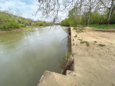
- The Little Kanawha River flows past a wall that was once part of a dam that controled the river near Leachtown. (Photo by Art Smith)
-
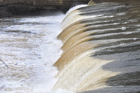
- Water pours over the Wells Dam near Elizebeth along the Little Kanawha River. Several dams along the river once allowed riverboats to navigate the lower portion of the waterway. (Photo by Art Smith)
-
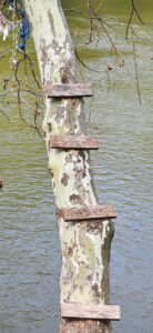
- A makeshift ladder leads up an old sycamore tree along a quiet section of the river. (Photo by Art Smith)
-

- Numbers that once measured the depth of the water at a lock near Leachtown now only measure the depth of the dirt that fills the lock chamber. (Photo by Art Smith)
-

- Water rushes through the lock chamber of the Wells Lock and Dam near Elizabeth. The dam at the location is still intact, but the doors of the lock are long gone, allowing the Little Kanawha River to flow freely through the lock that once raised and lowered boats that used the river to deliver goods and people to communities along the river. (Photo by Art Smith)
-
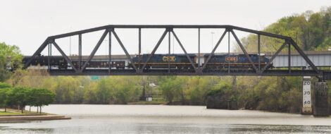
- A train moves across the rail bridge that spans the Little Kanawha near its confluence with the Ohio River in Parkersburg, 169 miles downstream from where the river starts in Upshur County. (Photo by Art Smith)
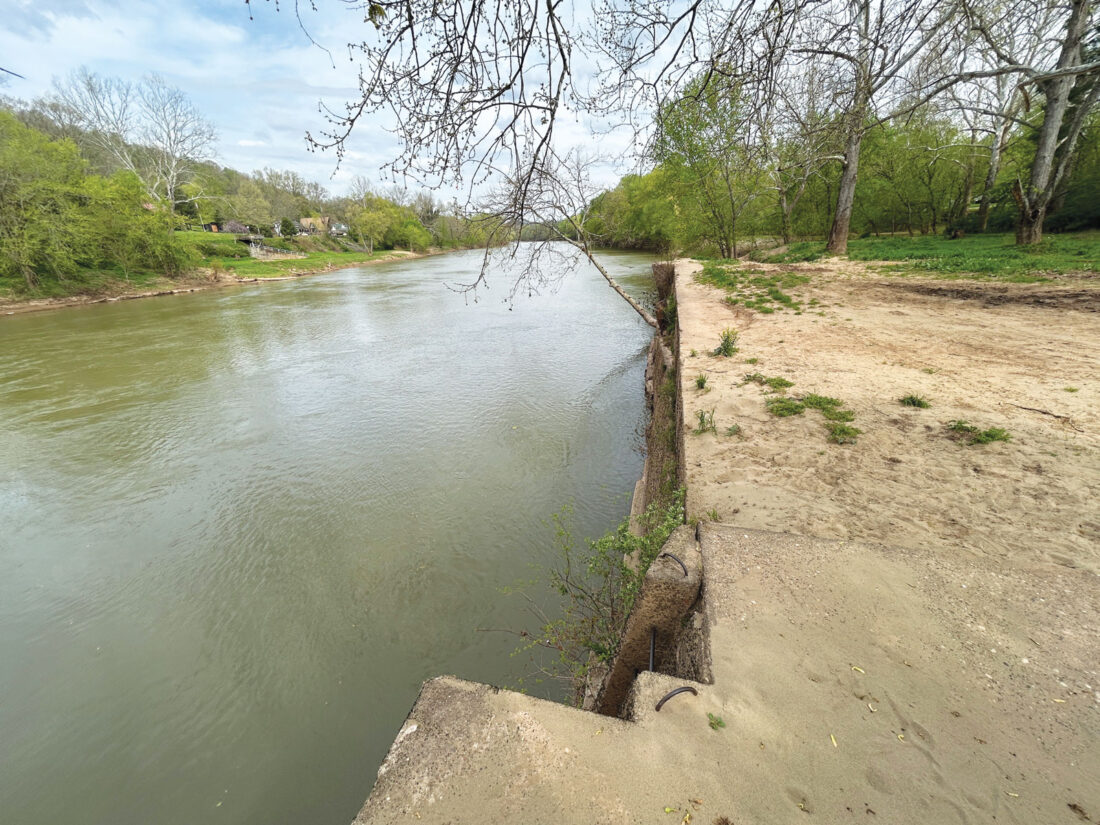
The Little Kanawha River flows past a wall that was once part of a dam that controled the river near Leachtown. (Photo by Art Smith)
PARKERSBURG — Starting high in the hills of Upshur County, the Little Kanawha River flows 169 miles through the heart of West Virginia before joining the Ohio River at Point Park in Parkersburg.
In between it meanders past the communities of Burnsville, Stouts Mills, Sand Fork, Glenville, Grantsville, Big Bend, Creston, Burning Springs, Palestine, Elizebeth and Newark.
The river once had a lock and dam system that allowed commercial river traffic to travel upstream from Parkersburg to service the growing oil and timber industries. Today only the last few miles of the river are used by a handful of companies with bulk materials delivered by barges.
The river had been used by Native Americans long before settlers of European descent began to enter the area. George Washington made note of the river when he visited the area in 1770, writing “From Muskingum to the Little Kenhawa is about thirteen miles. This is about as wide at the mouth as the Muskingum, but the water much deeper. It runs up towards the inhabitants of Monongahela, and according to the Indians’ account, forks about forty or fifty miles from the mouth, and the ridge between the two prongs leads directly to the settlement.”
Parkersburg, at the confluence of the Little Kanawha and Ohio rivers, was chartered by the Virginia General Assembly in 1820. As other communities began to grow upstream, there was a need to make the river deep enough to move supplies by boat.
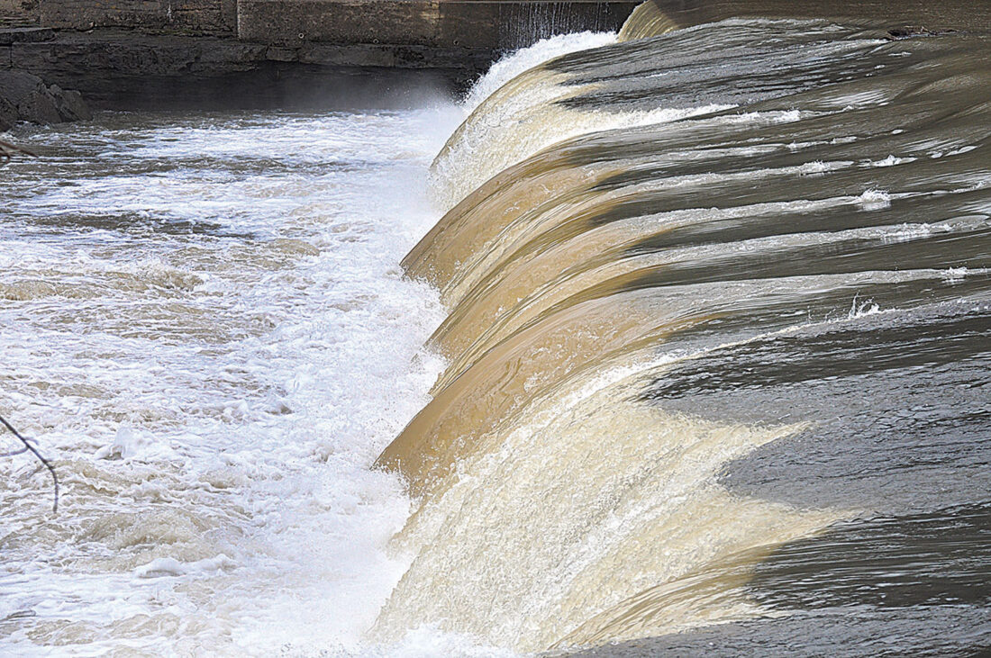
Water pours over the Wells Dam near Elizebeth along the Little Kanawha River. Several dams along the river once allowed riverboats to navigate the lower portion of the waterway. (Photo by Art Smith)
The Little Kanawha Navigation Company began selling stock in 1847 and started construction on four locks and dams in 1867. By 1874 small riverboats could operate in the still-shallow river and travel from Parkersburg all the way to Burnsville.
The boats were much smaller than those operating on the Ohio River, or even on the Muskingum. The scaled-down versions of riverboats carried people, mail and freight up and down the river, gliding around the sharper bends of the river and through lock chambers that were much smaller than those on nearby rivers.
Among the locks and dams, the No. 3 Wells Lock and Dam remains. Downstream from Elizabeth, the Little Kanawha flows over the 289 foot dam and through the 125-foot long, 22-foot wide lock chambers.
The lock doors are long gone and the river looks more like the rapids on the New River than a lock on the Little Kanawha.
The Wells Lock and Dam and the others in the system were purchased by the federal government in 1905. The dam was rebuilt in 1908 and operated by the U.S. Army Corps of Engineers until commercial navigation on the river ended in 1951 after modern highways made river travel unnecessary.
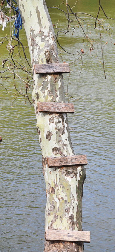
A makeshift ladder leads up an old sycamore tree along a quiet section of the river. (Photo by Art Smith)
The lower portion of the river near Parkersburg has the necessary depth to support commercial traffic because the level of the Ohio River is controlled by the large dam at Belleville.
Much of the rest of the river has returned to its natural state after maintenance of the system stopped seven decades ago. The locations of several of former dams provide popular stream access points from where people can enjoy the river.
The modern Burnsville Dam in Braxton County was constructed in 1972 and holds back the 968 acres of Burnsville Lake. The lake provides flood control by doubling its size during high water.
***
Other Names for the Little Kanawha River
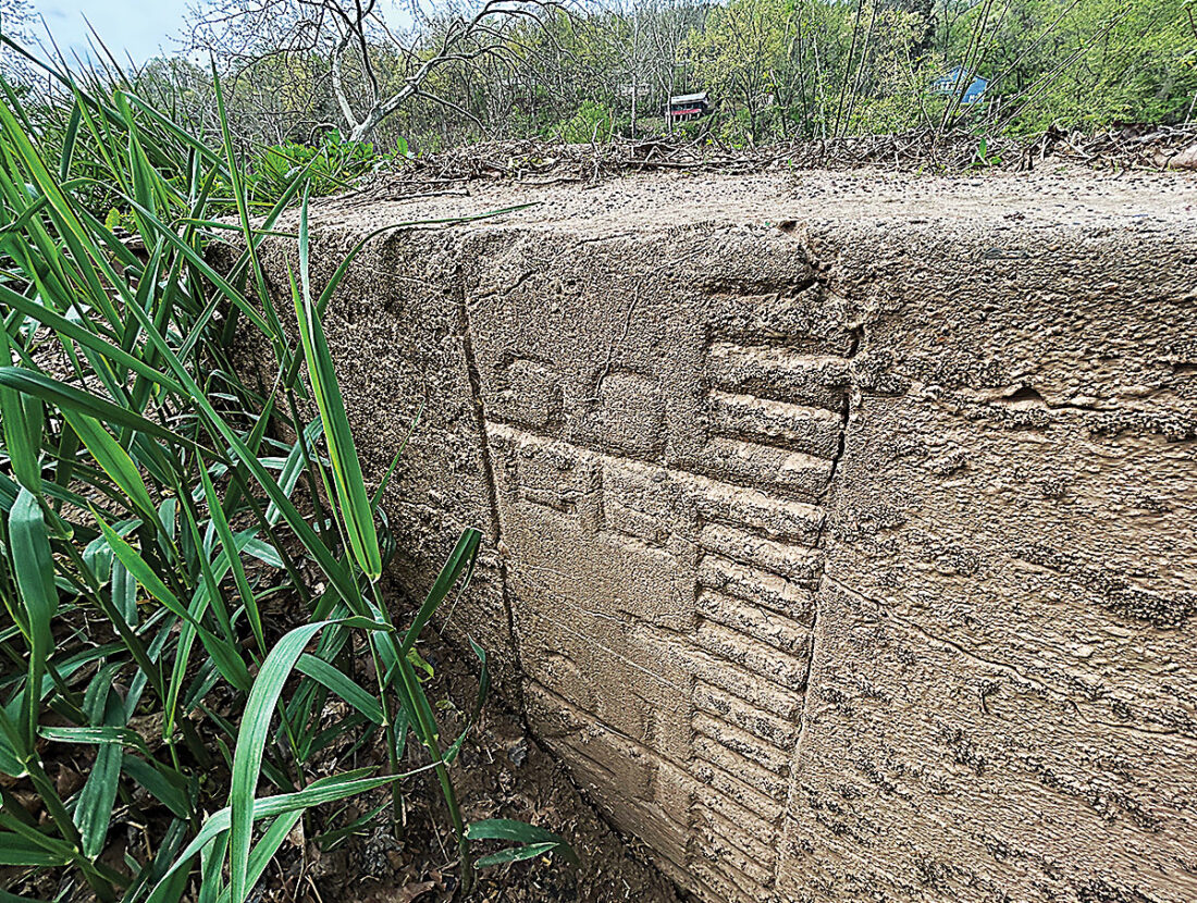
Numbers that once measured the depth of the water at a lock near Leachtown now only measure the depth of the dirt that fills the lock chamber. (Photo by Art Smith)
* Fishing Creek
* Little Canawha River
* Little Canhawa River
* Little Conaway River
* Little Cunnaway River
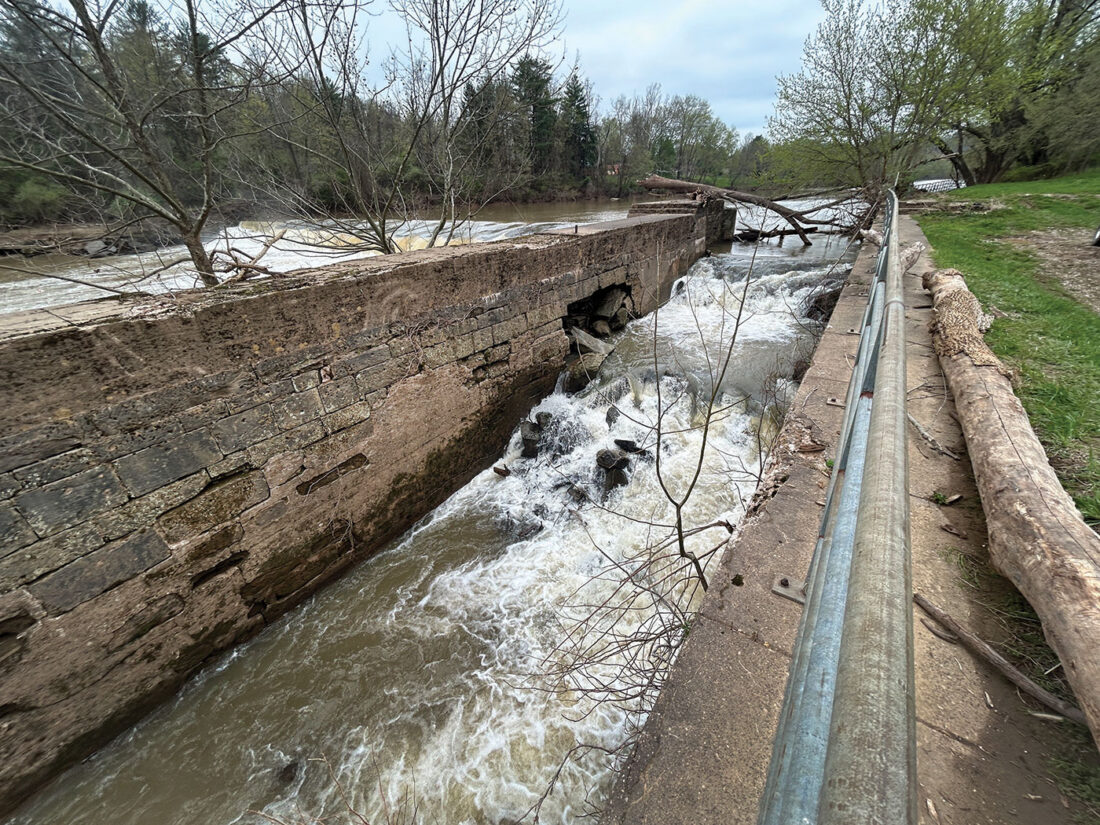
Water rushes through the lock chamber of the Wells Lock and Dam near Elizabeth. The dam at the location is still intact, but the doors of the lock are long gone, allowing the Little Kanawha River to flow freely through the lock that once raised and lowered boats that used the river to deliver goods and people to communities along the river. (Photo by Art Smith)
* Little Kanahaway River
* Little Kanahwa River
* Little Kanahway River
* Little Kanawah River
* Little Kanhaway River

A train moves across the rail bridge that spans the Little Kanawha near its confluence with the Ohio River in Parkersburg, 169 miles downstream from where the river starts in Upshur County. (Photo by Art Smith)
* Little Kanhawey River
* Little Kawahwa River
* Little Kenawah
* Little Kenhawa
* Little Kennaway River
* Nau-mis-sip-pia
* Newmissipi
* O-mom-go-how-ce-pe
* O-nim-go-how
Local News
City awards $12,000 to Parkersburg Art Center for arts programming and education initiatives
PARKERSBURG –The City of Parkersburg is recognizing the Parkersburg Art Center as part of its fiscal year 2027 ...
WVNCC celebrates rededication of historic B&O Building
Three Republicans, three Democrats vie for 14th District House of Delegates seat
PARKERSBURG – It will be a three-way race for both the Republican and Democrat nominations for the West Virginia ...
Washington County residents head to the polls for Election Day
Parkersburg City Council approves pool rates