Finding Refuge: Buckley Island provides home for nature
-

- A raccoon searches for food on the southern side of the island. (Photo by Art Smith)
-

- A large house is one of two structures that remain on the island. (Photo by Art Smith)
-

- A pair of kayakers head up the south side of the island. (Photo by Art Smith)
-

- Buckley Island ends just upstream from the Williamstown Bridge. (Photo by Art Smith)
-
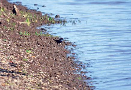
- A grackle walks along a rocky beach on the north side of the island. (Photo by Art Smith)
-

- One of the millions of plants that cover the island. (Photo by Art Smith)
-

- Most of the island is covered with a dense network of trees. (Photo by Art Smith)
-
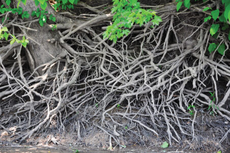
- The maze of tree roots exposed by passing flood waters. (Photo by Art Smith)
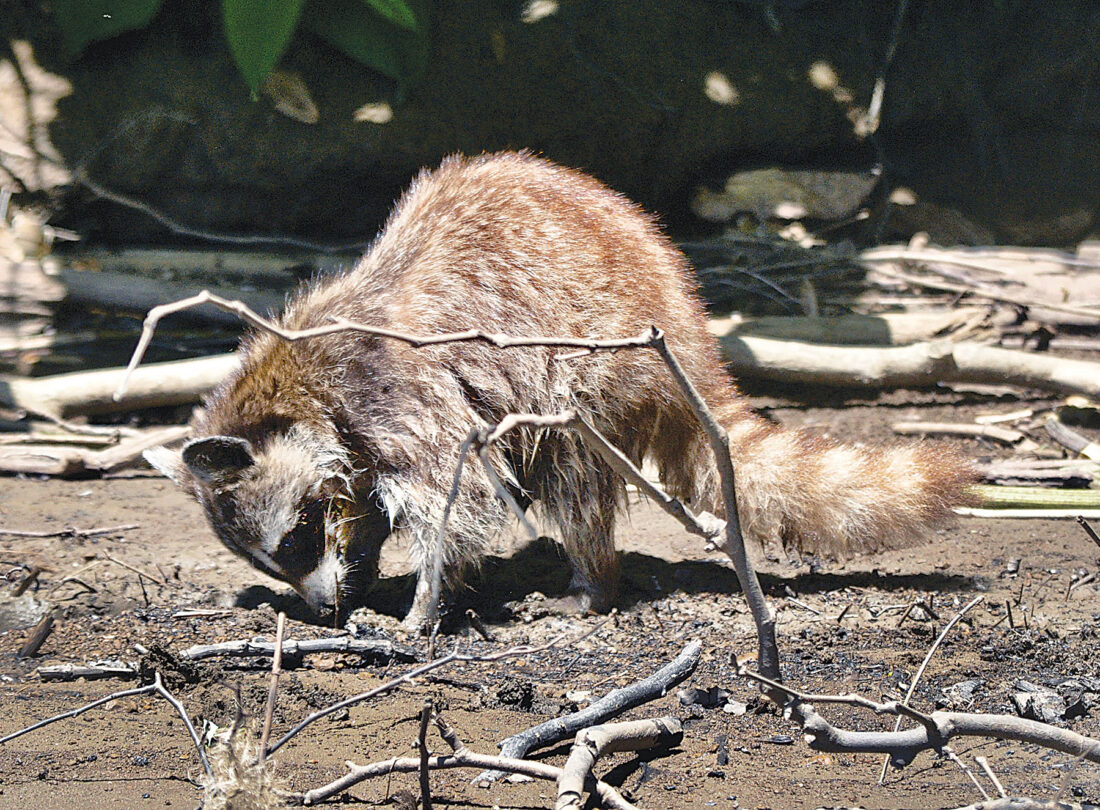
A raccoon searches for food on the southern side of the island. (Photo by Art Smith)
Nestled just a few hundred yards from Marietta in the middle of the Ohio River, Buckley Island provides a quiet refuge for nature.
The 160-acre island has been part of the Ohio River Islands National Wildlife Refuge since 1998. The head of the island is just downstream from the Little Muskingum confluence in Reno, stretching 2.5 miles, the island ends a short distance from the Williamstown Bridge. At its widest, Buckley Island is just over 500 feet across.
Native Americans used Buckley and other river islands for centuries. It was the arrival of the European settlers though that caused the greatest impact. Buckley Island has had many uses since their arrival, including hunting grounds, an area for the sick, illegal gambling and farming. For a brief period around 1900 there was an amusement park on the island.
Two huge construction projects in the 1960s had a profound impact on the island.
The construction of Intestate 77 in 1967 meant that in order for the highway to pass by Marietta a bridge would have to be constructed over the island. Four giant concrete piers near, and on the island support the four-lane highway that carries thousands of cars per day over the land. The bridge does not provide any access to the island. The only other structures on the island are a house and barn constructed after the 1913 flood swept everything else off the island.
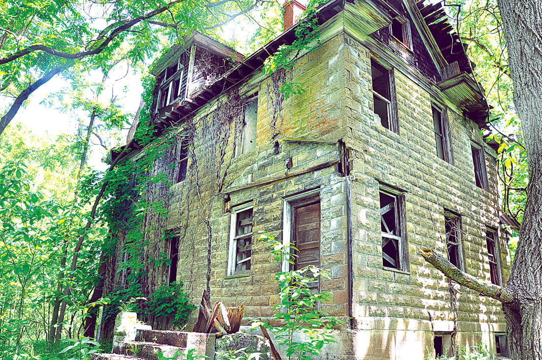
A large house is one of two structures that remain on the island. (Photo by Art Smith)
The river itself drastically changed in 1968 when the completion of the Belleville Lock and Dam downstream raised the normal level of the river around the island. Not only did this flood formerly exposed areas, but it also meant that a small concrete dam across the back side of the island would no longer provide access to the island.
The island, like most of the 22-island refuge, is only accessible by boat. Those that visit will find the remnants of lives that were spent on the island. Wiped clean by dozens of floods that have swept over the island, the structures that are on the island today were home to people that farmed the land in the last century.
“Working adjacent to the island as I do, it is a joy to see deer swim across the back channel, foxes forage on the island’s banks, and large flocks of turkey (as many as 75) visible during winter when the leaves are fallen,” said Michael Schramm, visitor services manager at the nearby visitor center for the islands.
“When visiting the island people should remember to ‘Leave no Trace,’ of course, just like on any federal land. On a wildlife refuge, it is illegal to remove anything, including historic artifacts from any era, and even including leaves from plants,” added Schramm.
Today it is only home to a variety of plant and animal species. Species of birds range from the small songbirds that hang out in the top of the trees to the great blue herons that look for fish along the shoreline. Migratory birds can frequently be found taking a break on the island. More than 50 species of fish can be found around the island. 47 varieties of mussels call the water around the island home, performing the important function of filtering the water as they feed.
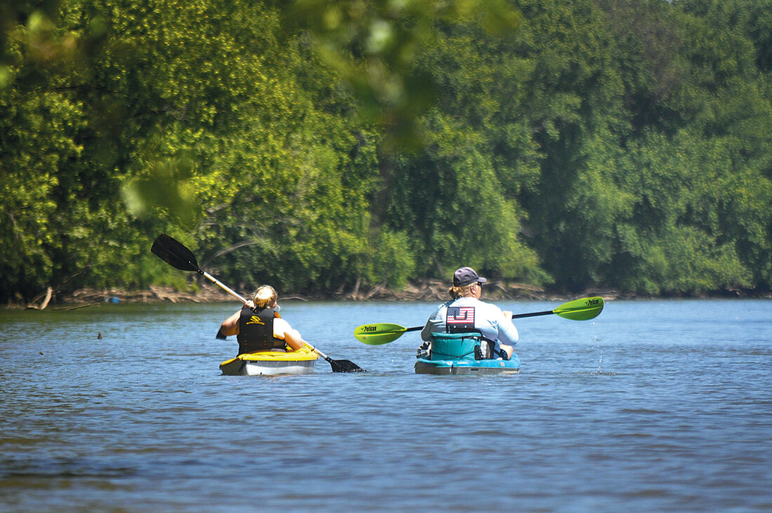
A pair of kayakers head up the south side of the island. (Photo by Art Smith)
The Ohio River Islands National Wildlife Refuge was established in 1990 under authority of the Fish and Wildlife Act of 1956 and was the first Refuge in West Virginia. The Refuge currently consists of all or part of 22 islands and four mainland units encompassing 3,440 acres of valuable fish and wildlife habitat within one of the nation’s busiest waterways. As acquisition progresses, the Refuge may include up to 35 river islands. The acquisition focus area stretches nearly 400 river miles from Shippingport, Pa., to Maysville, Ky., and includes four states (Pennsylvania, Ohio, West Virginia, and Kentucky).
The only recreation allowed on National Wildlife Refuges must always be wildlife dependent. These include: hunting, fishing, wildlife viewing, photography, environmental education, and natural interpretation. All six of these are allowed on Buckley Island. Visitation is allowed from dawn until dusk, but no overnight use is allowed unless a special permit has been issued. Some forms of hunting are allowed seasonally.
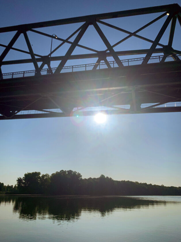
Buckley Island ends just upstream from the Williamstown Bridge. (Photo by Art Smith)
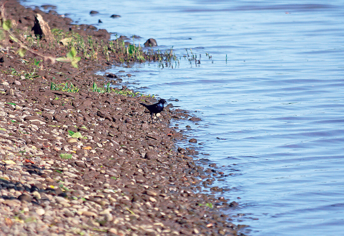
A grackle walks along a rocky beach on the north side of the island. (Photo by Art Smith)

One of the millions of plants that cover the island. (Photo by Art Smith)

Most of the island is covered with a dense network of trees. (Photo by Art Smith)
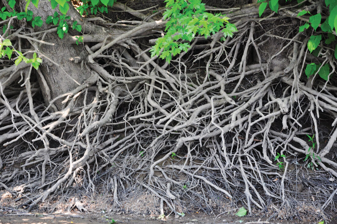
The maze of tree roots exposed by passing flood waters. (Photo by Art Smith)
Local News
Waterford man sentenced to four years in prison for role in overdose death
MARIETTA — Waterford resident Douglas Brion Sullivan, 61, was sentenced to four years imprisonment in connection ...

Picture This: Spirit of the season: The Commons, McConnelsville

Conflict over Parkersburg City Council public forum

Parkersburg Art Center slates winter classes

Parkersburg South marching band celebrated at BOE meeting